

Address Intelligence for the Last Mile
Slash dwell times with clean addresses, precise access points, and real-world driver insights. Equip your fleet to execute faster deliveries using location intelligence that grows smarter with every stop.
Precision Where Deliveries Actually Happen
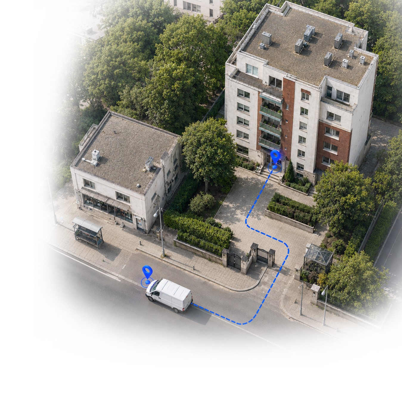
Most geocoders are designed for general navigation, not the complexities of last mile delivery. Better Places fixes this by identifying precise entry points, parking zones, and handover locations, pinpointing the exact delivery location to eliminate the final-meter guesswork that delays drivers.
Last Mile Problems
Messy Data, Failed Deliveries
Inaccurate inputs force manual fixes, distort route optimization, and waste driver search time, frequently resulting in costly failed deliveries.
Imprecise Geocoordinates
Wrong, unverified, or rooftop-only coordinates leave drivers wasting time searching for the actual delivery point.
High Dwell Time
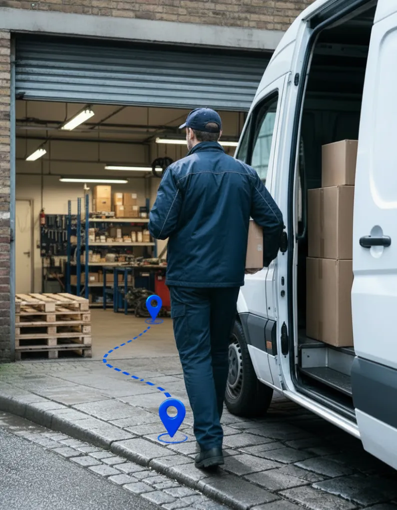
Navigating complex apartment buildings and industrial zones takes time, especially for new drivers who don't know where to go.
Intelligent Solutions
- ✓ Verified & Normalized Data
Clean, standardized address formats instantly accessible across all your systems. - ✓ Precise Arrival Points
Verified locations with nearby parking, building access, and exact drop-off points, learned and proven from successful deliveries. - ✓ Shared Knowledge at Scale
Permanent digital assets captured from on-the-ground experience, ensuring new hires perform like veterans from day one.
Purpose-Built Geocoding for Parcel Logistics
Better Places provides precise, reliable location data across 50+ countries through tailored address normalization, geocoding, and validation. By unifying local address formats, languages, and map providers into accurate coordinates, it streamlines every stage of parcel delivery, from route planning and stop sequence optimization to final drop-off.
Deliver Faster at Lower Cost-Per-Stop
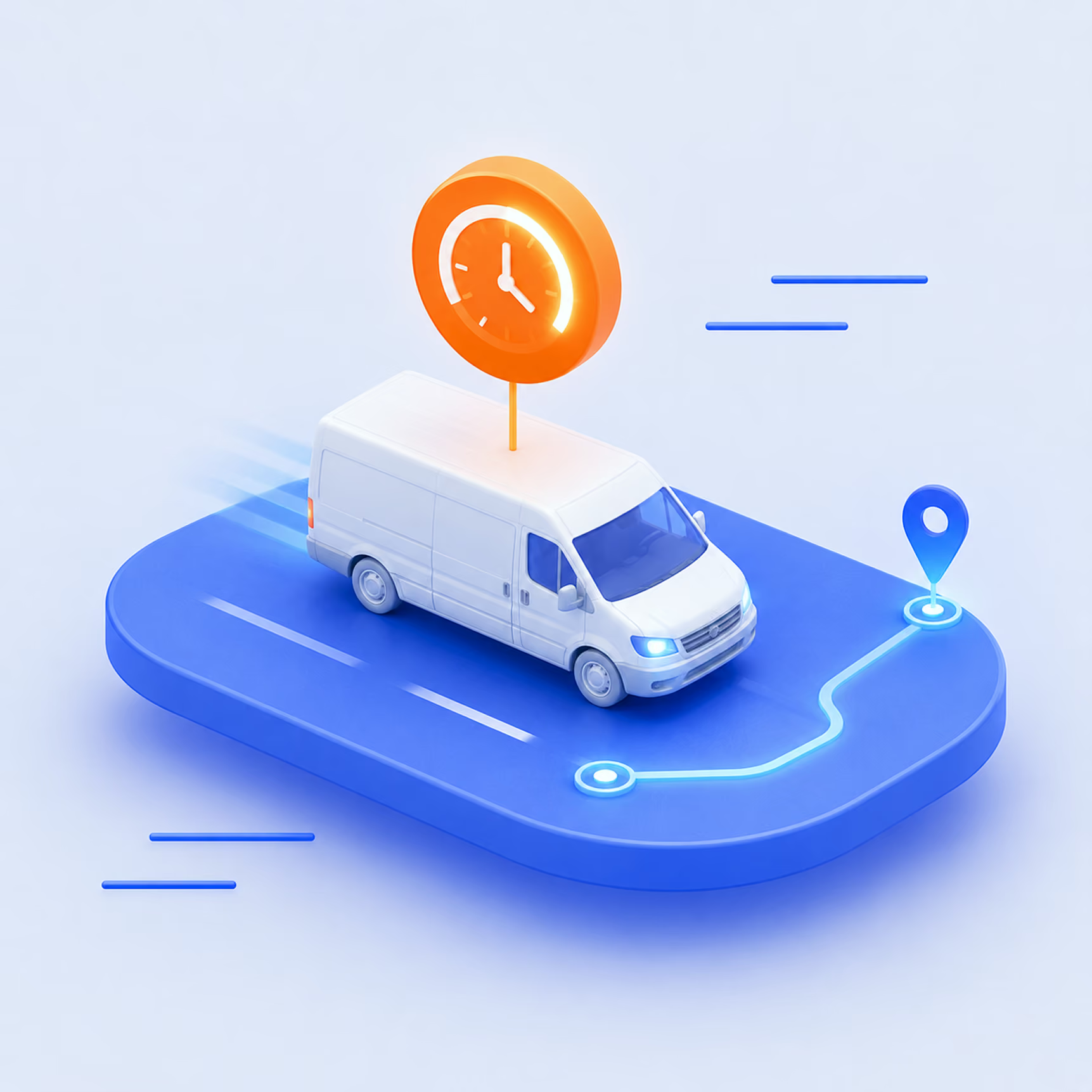
Put proven location knowledge in every driver's hands to boost first-attempt delivery success and decrease service time at complex stops. Speed up routes and drive down your cost-per-stop at scale.
Process Addressesat Scale, Instantly
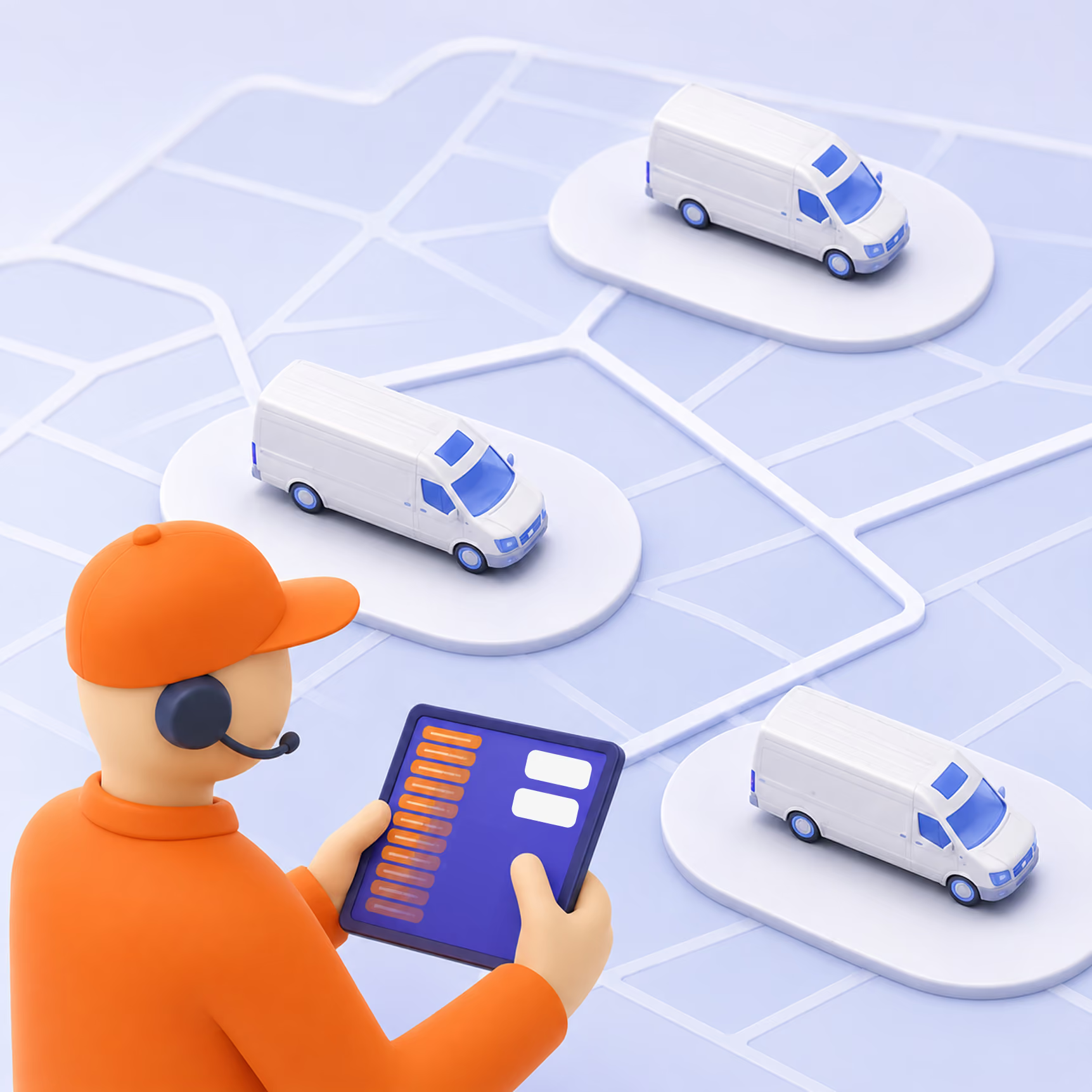
Process millions of addresses effortlessly with sub-100ms API response times. Keep your operations moving fast and reliably, ensuring no latencies during depot rush hour or peak season.
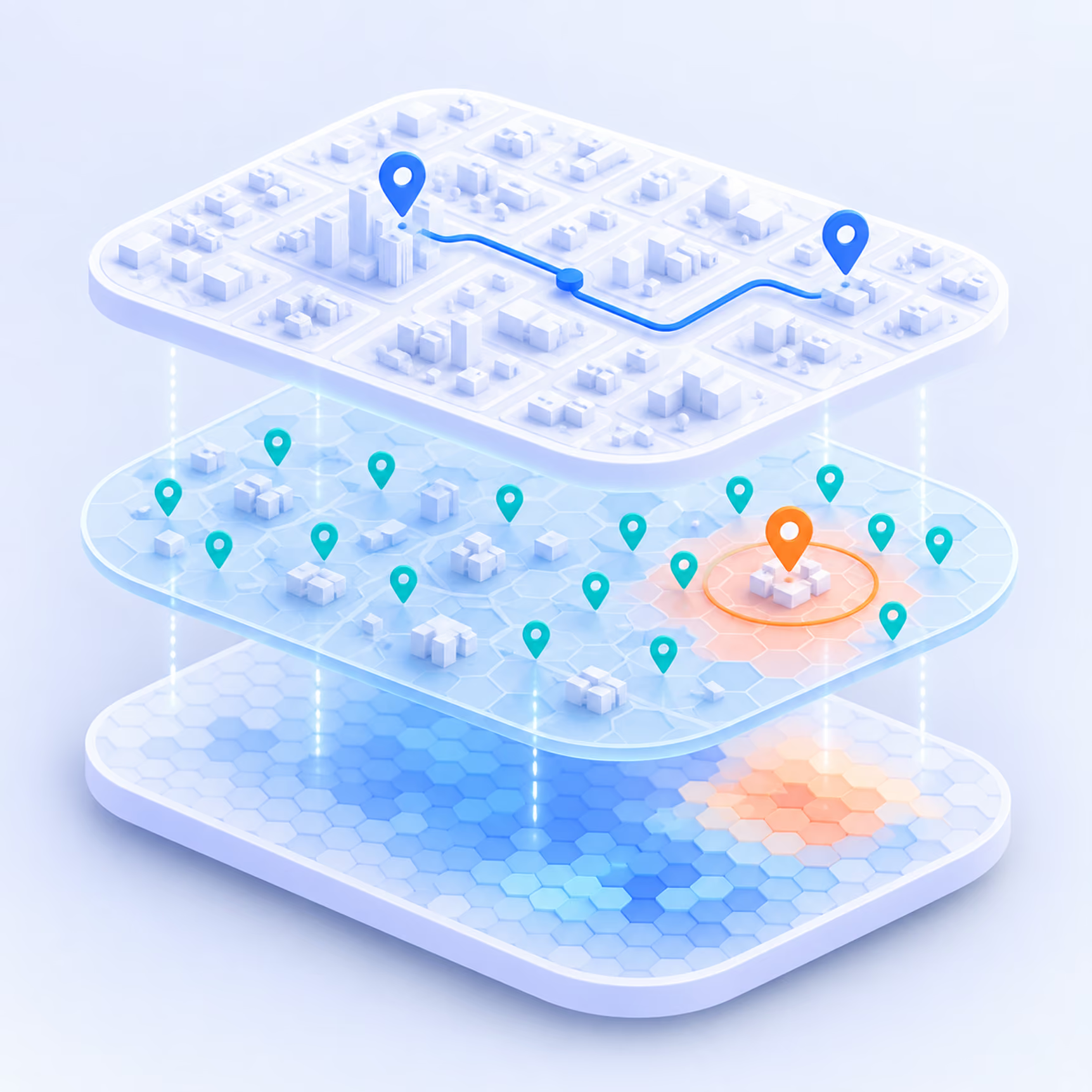
Build a Digital Twin of Every Delivery Location
Every successful delivery adds verified parking, access points and building details to a living record of your service area. The result: a delivery location twin that gets sharper with every stop, so drivers arrive knowing exactly where to go.


Poor quality in address data is a persistent problem for delivery. With Better Places, we send our drivers to the right places and improve our master data significantly.

The AI layer that interprets delivery reality and turns it into clear operational actions.
.avif)
Last Meter Guidance
- Precise Delivery Point Recognition: Better Places learns the real-world handover point for each address, including parking spots, building entrances, and access routes, so drivers arrive at the right place without searching.
- Shared Delivery Intelligence, Built Automatically: Every successful delivery adds to a shared location layer. Insights from across your network, from drivers, scan events, and operational data, become a reliable asset available to every driver on every tour.
- Consistent Guidance Across the Network: Whether a driver has visited an address 50 times or never, they get the same accurate, ground-level guidance. Location quality no longer depends on who's on the route that day.
Real depots, real-time results.
Proven in real operations, not on paper.
See what changes when data moves in real time.

Any questions? We got you.
Get the most out of our location data. Below, we've answered the most common questions about how our Places API improves address accuracy and streamlines your delivery operations.
Address normalization is the very first step in the address cleansing process. Unstructured raw data are “scrubbed”, removing any unwanted characters, and parsed into components. These components are then converted into a normalized format and tagged. From there, the address can be standardized according to any country database or geocoder standard. Normalized address components allow you to be much more flexible and less dependent on raw data than if you were to clean your addresses according to any one specific standard from the outset.

A geocoder transforms text-based address data into geocoordinates. The more accurate the address, the more accurate the pin on the map. Geocoding processes differ from provider to provider. Better Places uses multiple geocoding services, which means you integrate once to get access to multiple providers.
We offer competitive prices compared to other solutions on the market, with the added value of access to multiple geocoding providers for even better geocoding results. Please contact us for details.
Better Places is available for users everywhere in the world. Country specific address normalization is currently available in 18 countries: in Europe, the UK and the USA. We are constantly expanding our country roster. If you’re interested in using Better Places in a country you don’t see here, please get in touch.